5671
Item
Item Type
Photograph
Image Number
5671
Description
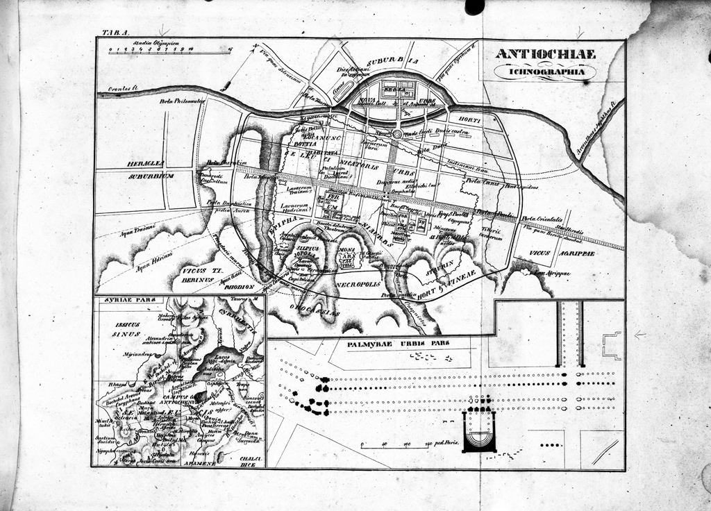
Map of Antioch by O. Muller, 1839. Shows projected locations of ancient buildings and streets.
Sector
Multiple Sectors See all items with this value
Building Feature
Staff, Topography, and Regional Interest See all items with this value
Antioch Publication
Antioch V, plate 1, no. 2